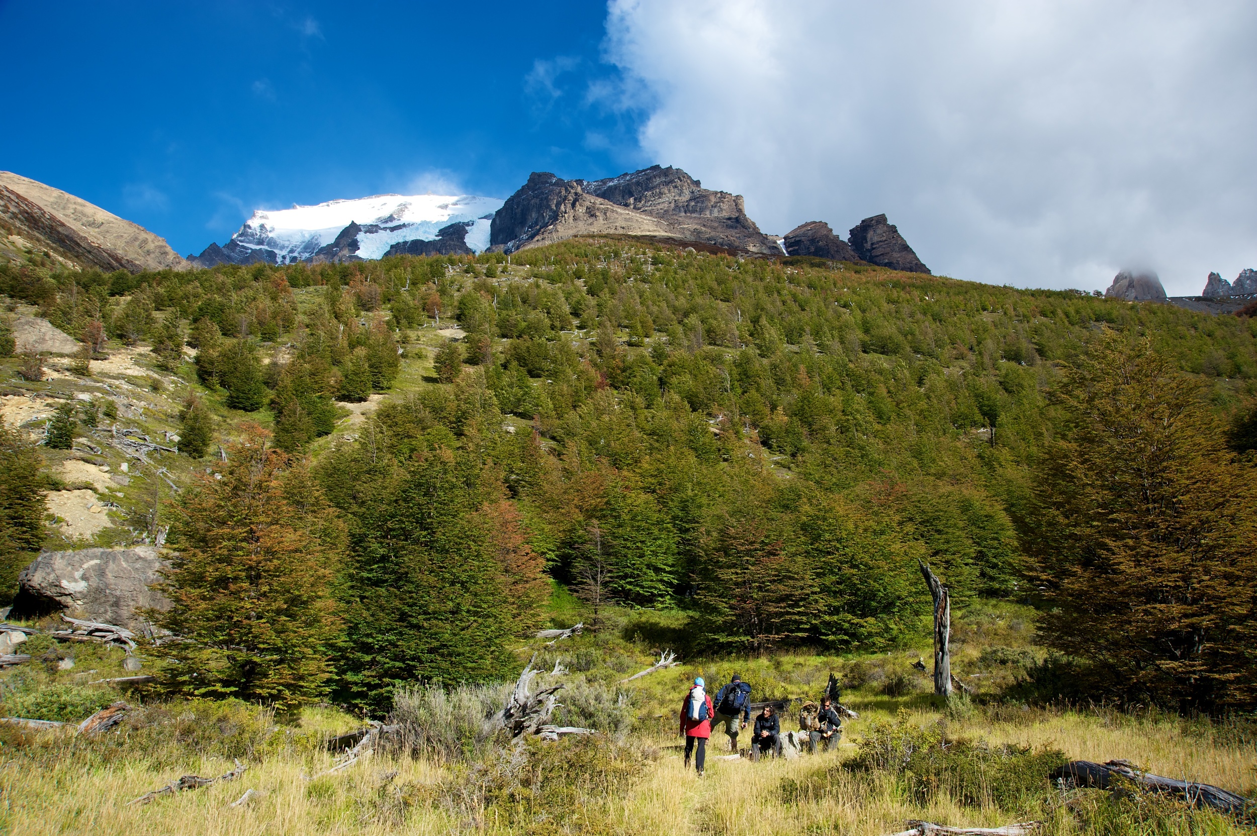
We met our guide Cem and set off early for the three hour drive to the starting point of our walk which was near the entrance to the national park which is a 2400 square km reserve in the uninhabited wilderness of the Southern Patagonian Andes. Our first day trekking took us up a long and steep pathway to the base of the Torres del Paine (Blue Towers). These are three spectacular granite needles that rise amongst the surrounding Andean peaks. (They feature in the logo for the outdoor shop Mountain Designs). The walk to the base of the towers was in three main stages with the first being a steady climb for about 2 hours and then a relatively easy 1.5 hours walk through the most beautiful Nothafagus (beech) forest following a river that looked ideal for intrepid white water rafters. The beech forest was at its autumn best with the deciduous trees in various shades of greens, golds and reds. The final hour of the inward trek is a one hour ascent that is demanding due to steepness and exposure to strong wind and snow. The effort was rewarded for a view of the Towers and the associated glacier and lake. It’s a view one will keep in one’s mind forever.
The return trip being downhill and very steep was hard on the legs but after seven hours we were thrilled to have had this experience and to have completed the first part of the so-called “W” trail.
Over night we slept in tents and were blasted by very strong winds.
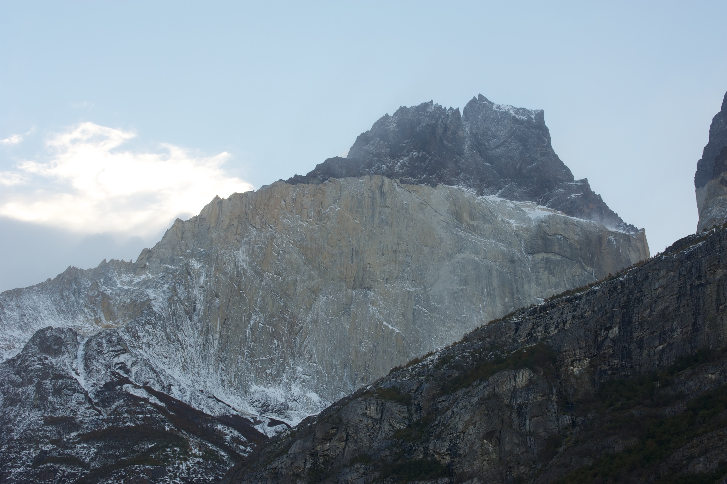
After a hearty breakfast in a nearby camp centre we re-entered the National Park and completed a day walk of about 11 km along the shores of Lago Nordenskjold. This walk had some steep sections but nothing like our previous day’s. We ended the day at the Los Cuernos (The Horns) camping hut where cold showers and bed-bugs were a feature. Nonetheless a fair amount of alcohol seemed to result in a party atmosphere and everyone crammed into an 8 bunk room. The Horns of Paine were directly above our camp-site and despite some clouds we managed to get some photos that show the spectacular peaks.
We awoke on day three to 100 km/hr winds and the possibility of snow. Our path took us along the Lago Nordenskjold to the Campamento Italieno where we diverted from the main track and headed up into the “French Valley”. The walk was steep in amongst beech forest and moraine scree. The weather deteriorated and snow started falling to such an extent that after 2 hours we hadn’t reached the intended destination which was 2.5 hours up the French Valley. We had lunch in a forest area with a glacier across the valley. Although it was snowing heavily, there was no wind so the forest looked rather magical. Our return down the French Valley was in improving weather and a further 2.5 hours of walking brought us to our next campsite at Lago Pehoe. Extensive areas around this lake have been devastated by fire in January 2012 caused by campers. An estimated 7000 ha of beech forest has been destroyed. The area looks like a nuclear disaster zone!
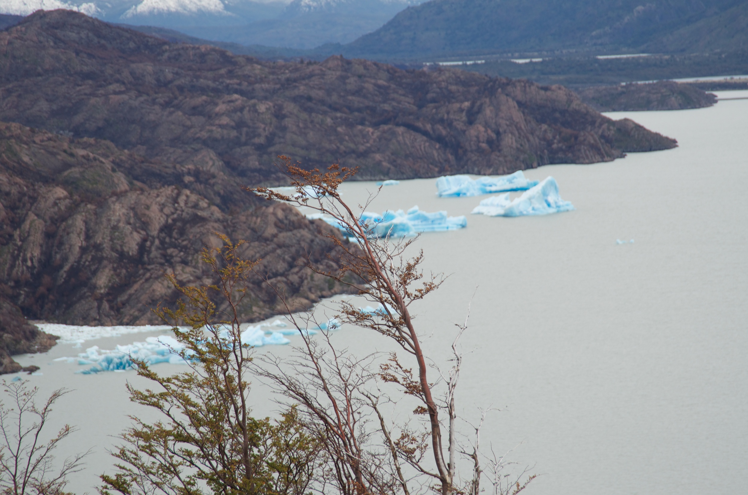
Our final day in the National Park involved a 2.5 hour walk up towards Refugio Grey to see the giant Grey Glacier (4.5 km wide). The lake in front of the glacier (Lago Grey) had icebergs floating in it.
We returned to the Lago Pehoe camp and then caught the ferry back to Guarderia Pudeto where the bus was waiting to take up back to Puerto Natales having completed the “W” trail of about 70 km of mountainous trekking.
Hot showers and clean clothes were high on the priority list but some celebratory drinks were soon to follow!!!
Wildlife: On the open plains we saw hundreds of guanacos (a llama type animal and related to the camel). These graze in herds somewhat like sheep and are a source of wool and meat. Rheas, a smaller version of the ostrich, are also common on the plains but were hard to get close enough to photograph. We also spotted eagles, hawks and falcons along the roadways as they feed on the carrion of dead rabbits and hares.
In the mountainous regions condors were frequently sighted soaring above us in groups of fifty or more. Some were sighted roosting on craggy sections of the cliffs above our walking path.


